


GIS Data Requests
Visit the GIS MukMaps Open Data Hub for some of our most requested GIS data, as well as resources for GIS Data from around the region and beyond.
If you have further inquiries that we may be able to help you with, don’t hesitate to contact us directly at GIS.Requests@mukilteowa.gov.
GIS Division Staff
| Name | Title | Phone | |
|---|---|---|---|
| Mende, Doug | GIS Lead | 425.263.8049 | |
| Vacant | GIS Technician | 425.263.8048 |
GIS Division News & Updates
12/14/2021: Server Maintenance & Upgrades
We’re working on the final round of server maintenance we’ve been working on for the past few weeks, hoping to be back to full capabilities by Christmas weekend. Until then, we may experience some down time on our interactive maps, though we’re trying to mitigate these interruptions to between the hours of 10pm and 5am.
11/10/2021: GIS Open Data Hub
Mukilteo GIS is proud to announce the GIS MukMaps Open Data Hub, a new resource in acquiring some of our most requested GIS data. This open data hub is still in the early stages of becoming what we strive to achieve, as we prepare more data to be shared with the public.

01/31/2020 New PDF Maps Added to Collection
3/7/2019: Historical Imagery Viewer Update
Mukilteo GIS has added new high resolution imagery to our Historical Imagery Viewer application from 1947, 1955, 1965, 1974, 1978, 1984, 1991, and 1995. You can use the tabs along the top to switch between years and view the same location at 24 different points in history.
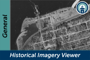
The recent imagery was obtained from Snohomish County as scanned .tif images and georeferenced by City GIS staff. The images were then spliced together into seamless mosaic images and shared over the web.
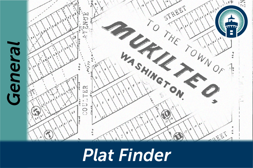
1/22/2019: Plat Finder Update
Mukilteo GIS recently updated the Plat Finder web application to several new types of property documents including Binding Site Plans, Boundary Line Adjustments, and Condominium Plats. We also added a few of the most recent documents recorded in Mukilteo. Use the filter widget in the left panel to find a specific document or type of document, or search for an address to see what documents are available in your area.
11/16/2018: Master Signage Plans Map
A new web app is available on the MukMaps interactive mapping page: Master Signage Plans! You can use the map to find approved master signage plans anywhere in the City and download the full document.
Master signage plans are prepared for all commercial, office or industrial projects and any multi-tenant buildings or group of buildings that have four tenant or occupant spaces on a lot. The plans stipulate requirements for entrance and monument signs, wall signs, complex identification signs and window signs within the specified area. More information about master sign plans can be found in section 17.80.100 of the Mukilteo Municipal Code.

6/14/2018: Terrain Basemap
A new Terrain Basemap is now available in the Basemap Selector widget on most maps. It is based on 2016 LiDAR data and shows detailed slope and contour information.

9/13/2017: Mukilteo Launches New Mapping Site
